I don't know which came first.....my love of travel or my love of maps. Hmmmmm.....
When in the fourth grade at South Newton Elementary, I had Mrs. Geneva Isenhower as a teacher. She loved maps too! Do you remember mimeographed worksheets with the blue ink? My fondest memories from that year in school were getting those worksheets with maps.....maps that I could color and draw on. I learned my states and their capitals that way.
As a senior in high school, I needed one more course to complete my schedule. All my math, english, and science requirements had been met, so I chose something fun.....geography. I had Mrs. Mildred Spencer as a teacher and guess what? She loved maps too! I spent that whole year getting to draw and color maps once again. We got to pick a state, do research on it, order brochures and information from tourist bureaus, and DRAW MAPS. By the way, I picked Georgia.
I drew a map for my sister Miriam's wedding guests so they could find the sites of the rehearsal dinner, church, and wedding reception. I'm pretty sure she saved it and framed it!
I drew a illustrated map of Catawba County for Miriam to use in competition for a teacher-of-the-year competition which she went on to win. It's framed also and she used the money she won to turn it into a puzzle for teachers to use in their classrooms.
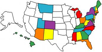
My history with maps is a long and happy one! Today I like to use maps for lots of things besides travel. Most of those uses include artsy-fartsy stuff. When on Pinterest I always find very cool ideas for maps. Here are some examples:
When in the fourth grade at South Newton Elementary, I had Mrs. Geneva Isenhower as a teacher. She loved maps too! Do you remember mimeographed worksheets with the blue ink? My fondest memories from that year in school were getting those worksheets with maps.....maps that I could color and draw on. I learned my states and their capitals that way.
As a senior in high school, I needed one more course to complete my schedule. All my math, english, and science requirements had been met, so I chose something fun.....geography. I had Mrs. Mildred Spencer as a teacher and guess what? She loved maps too! I spent that whole year getting to draw and color maps once again. We got to pick a state, do research on it, order brochures and information from tourist bureaus, and DRAW MAPS. By the way, I picked Georgia.
I drew a map for my sister Miriam's wedding guests so they could find the sites of the rehearsal dinner, church, and wedding reception. I'm pretty sure she saved it and framed it!
I drew a illustrated map of Catawba County for Miriam to use in competition for a teacher-of-the-year competition which she went on to win. It's framed also and she used the money she won to turn it into a puzzle for teachers to use in their classrooms.
My history with maps is a long and happy one! Today I like to use maps for lots of things besides travel. Most of those uses include artsy-fartsy stuff. When on Pinterest I always find very cool ideas for maps. Here are some examples:
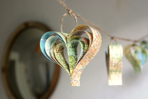 GARLANDS 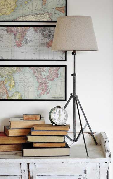 ART WORK 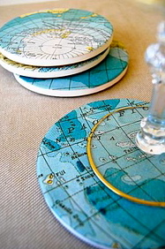 COASTERS 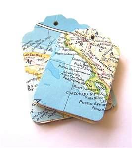 TAGS  VINTAGE DESK WITH DECOUPAGED MAPS 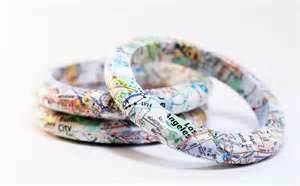 BANGLE BRACELETS | 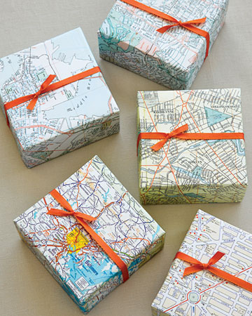 WRAPPING PAPER 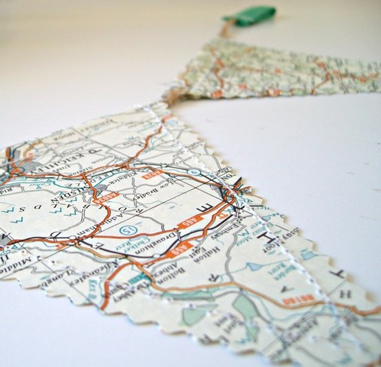 BUNTING 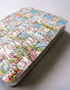 BOOK COVERS 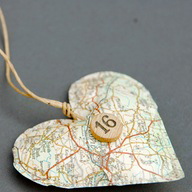 ORNAMENTS 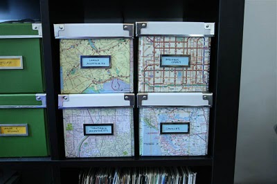 STORAGE BOXES 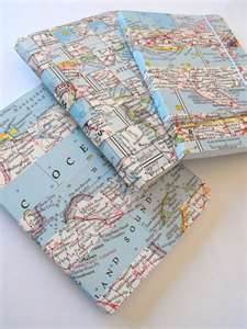 JOURNALS |
If you love maps too then I hope you've enjoyed today's Postcard. Who knows, maybe I've given you some ideas for a Christmas present or two. Merry Christmas!!